Gps Receiver
Advertisement
GpsDiffuser v.1.0.2.1
Diffusion is done by sending sentences at format NMEA 0183 using UDP protocol .Diffused data come either from a GPS receiver or source issuing on UDP in real time navigation mode, either from a replayed file.
Advertisement
OziPhotoTool v.2 8
OziPhotoTool combines the technology of a GPS receiver and a digital camera to automatically keep a record of where digital photos were taken. It is designed to be used in conjunction with OziExplorer.
APR MAP v.6 7
If you connect a GPS receiver, NMEA0183-signals (GGA/GLL/RME) will provide your own position every 5 seconds.
Sokkia Planning v.4.21.1410
Sokkia's Planning Software is an integral part of the Spectrum Survey Suite package. With Planning, you can determine the availabilty of satellites at any time of day by setting up GPS receiver parameters in your office.
Northwest Topos v.0.1
Northwest Topos is a mapset containing contours, hydrology, roads, trails, points of interest and more for the State of Washington and adjoining regions. It is designed for upload to any map-enabled Garmin GPS receiver.
GPS2LT2 v.2. 1. 2002
This is the software you use to collect your travel time data in the field using a GPS receiver and a laptop. It is easy to install and easy to manipulate.
GPX and TCX file welder v.0.0.1
Substitutes the missing GPS information in Garmin TCX files when devices lacking a GPS receiver are used to collect training data (Garmin FR 60, heartrate and pedometer only). GpxTcxWelder integrates GPS info from a GPX v1.1 files into TCX files.
GpxTcxWelder v.0.0.1
Substitutes the missing GPS information in Garmin TCX files when devices lacking a GPS receiver are used to collect training data (Garmin FR 60, heartrate and pedometer only).
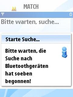
MATCH - Mobile Action Tracking Companion v.1.0.1
MATCH is an application for J2ME / JavaME enabled devices which allows tracking (recording of tracks) and route-navigation with your mobile phone and a NMEA-compliant Bluetooth GPS-Receiver when jogging or biking.
QLandkarte v.1.0
View and upload map files, track and waypoint data to your Garmin GPS receiver.
GPS Connect v.0.2
GPS Connect is a freeware program for Mac OS X which offers connectivity to Garmin GPS receivers.